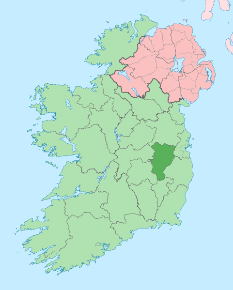
Fil:Island of Ireland location map Kildare.svg
Udseende

Størrelse på denne PNG forhåndsvisning af denne SVG-fil: 481 × 599 pixels. Andre opløsninger: 192 × 240 pixels | 385 × 480 pixels | 616 × 768 pixels | 822 × 1.024 pixels | 1.643 × 2.048 pixels | 1.450 × 1.807 pixels.
Fuld opløsning (SVG fil, basisstørrelse 1.450 × 1.807 pixels, filstørrelse: 642 KB)
Filhistorik
Klik på en dato/tid for at se filen som den så ud på det tidspunkt.
| Dato/tid | Miniaturebillede | Dimensioner | Bruger | Kommentar | |
|---|---|---|---|---|---|
| nuværende | 3. jul. 2020, 10:12 |  | 1.450 × 1.807 (642 KB) | Chipmunkdavis | Per the Local Government Reform Act 2014, joining both Tipperarys and both Waterfords (and removing Limerick City code). Colouring in islands, cleaning up and grouping code to remove stray objects and show Galway and Lough Ree. |
| 19. jul. 2010, 01:48 |  | 1.450 × 1.807 (815 KB) | Mabuska | {{Information |Description={{en|The island of Ireland, showing international border between Northern Ireland and Republic of Ireland, traditional provinces, traditional counties, and local authority areas in the Republic of Ireland and Northern Ireland.}} |
Filanvendelse
Den følgende side bruger denne fil:
Global filanvendelse
Følgende andre wikier anvender denne fil:
- Anvendelser på ar.wikipedia.org
- Anvendelser på ast.wikipedia.org
- Anvendelser på be.wikipedia.org
- Anvendelser på bg.wikipedia.org
- Anvendelser på ca.wikipedia.org
- Comtat de Kildare
- Naas
- Maynooth
- Leixlip
- Plantilla:Comtat Kildare
- Athy
- Newbridge (Kildare)
- Kildare
- Curragh
- Turó d'Allen
- Monasterevin
- Castledermot
- Calverstown
- Allen (Kildare)
- Kilcullen
- Ballymore Eustace
- Rathangan (Kildare)
- Prosperous
- Allenwood
- Caragh
- Clane
- Kill (Kildare)
- Kilcock
- Baile Eoin
- Baile an Mhuilinn (Kildare)
- Anvendelser på ceb.wikipedia.org
- Anvendelser på cs.wikipedia.org
- Anvendelser på de.wikivoyage.org
- Anvendelser på dtp.wikipedia.org
- Anvendelser på en.wikipedia.org
Vis flere globale anvendelser af denne fil.
